- Connecticut River Paddlers Trail Map,
- Connecticut River Watershed Council
- http://www.ctriver.org/river-resources/about-our-rivers/
- Connecticut River Joint Commissions
- Connecticut River Paddlers Trail
- Connecticut River (Description/information-Wikipedia)
- http://connecticutriver.us/site/content/about-river
- http://connecticutriver.us/site/content/sites-list (for river cleanliness data)
- Flow Restoration (about the dams)
- Partner Organizations in the Connecticut River watershed
- USGS: A Science Framework for Connecticut River Watershed
MAPS:
- Map of Connecticut River Watershed: 410 miles long (Connecticut River Watershed Council)
- Maps-Connecticut River Watershed Council
- Maps of Boating on the Connecticut River
- Maps of the Connecticut River Paddling Trail
- Trust for Public Land overview
- Blueway
- Connecticut River Tri-State Tour
- Blog highlighting the history of the Upper Valley towns of Vermont and New Hampshire
- Connecticut River Watershed Landscape Conservation Design Pilot
- Connecticut River collaborations and projects in MA/CT
EROSION:
- http://www.crjc.org/erosion.htm (river dynamics)
- RIPARIAN BUFFERS: http://www.crjc.org/buffers/Introduction.pdf
- Floodplain Forests
- Hydrologic cycle, stream profile, drainage, channelling, erosion and deposition, lakes, groundwater, wetlands
HEALTH OF THE RIVER:
- MACROINVERTEBRATES AS INDICATORS OF THE HEALTH OF THE RIVER
- STREAM SURVEY
- Stream Drainage
- Channel Types
- Erosion and Depositon: Alluvial Landforms
- Stream Order
- Lakes
- Reservoirs
- Groundwater
- Wetlands
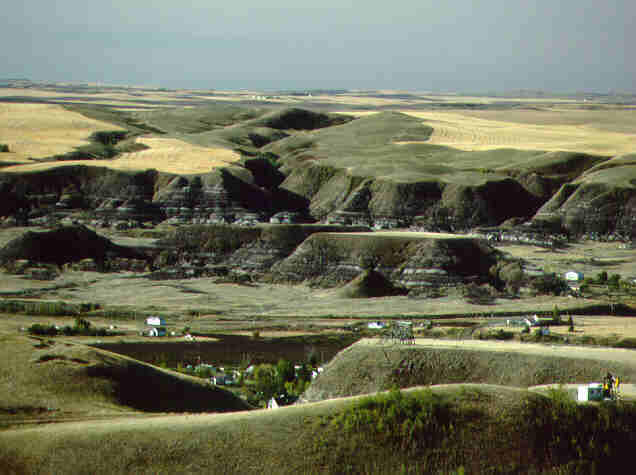
LANDFORMS:
- Oxbow Pictures:
- Oxbow picture
- Oxbow picture: good pic
- Oxbow picture:
- Wikipedia info on the Connecticut River: http://en.wikipedia.org/wiki/Connecticut_River
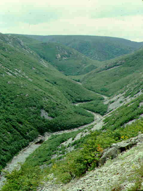
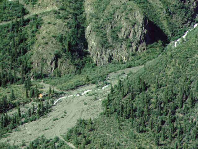
- Fluvial Landforms:
- Landforms:
- Photos:
POLLUTION: POINT AND NONPOINT SOURCE:
- NON POINT SOURCE POLLUTION:
- POINT SOURCE POLLUTION
- PROTECTING WATER
- NITROGEN IN THE CONNECTICUT RIVER
- NUTRIENT SOURCES AND LOAD
- INVESTIGATIONS IN GROUNDWATER CONTAMINATION
- SUMMARY OF WATER QUALITY TRENDS FOR CONNECTICUT RIVER
- WATER TESTING: PHYSICAL, BIOLOGICAL, CHEMICAL PARAMETERS
RIVER USES:
RIVER USES THROUGH TIME: (this one is about the Adirondacks, but it is a good introductory overview of logging and resource protection issues)
LOGGING:
- River Log Drive: https://www.youtube.com/watch?v=FJDD9VCSfpY
- Log Drives on the Connecticut River
- Larry Coffin’s blogspot log drive picture
- LOGGING:–great picture of the logs coming out at Turners Falls, MA
- LOGGING: picture of loggers riding the logs
- LOGGING
- The Last Log Drive, Kennebunk River
MILLS:
HISTORY OF EDUCATION:
- http://larrycoffin.blogspot.com/2009/09/school-bells-academies-and-seminaries.html
- http://harvardforest.fas.harvard.edu/major-research-topics/major-research-topics/soil-carbon-and-nitrogen-dynamics
- http://harvardforest.fas.harvard.edu/major-research-topics/major-research-topics/forest-atmosphere-exchange
- http://harvardforest.fas.harvard.edu/news/new-study-small-streams-transport-key-forest-nutrients
- http://ala227.courses.asu.edu/Images/EPA_watershed_ecosystem_dynamics.gif
- http://harvardforest.fas.harvard.edu/major-research-topics/major-research-topics/watershed-ecology
